Team
- Jennifer D. Watts Associate Scientist
- Jonathan Sanderman Vice President of Science, Senior Scientist
- Mika Tosca Research Associate
- Andrew Mullen Research Associate
- Trevor Smith Scientific Computing Lead
- Colleen Partida Research Assistant
- Yushu Xia Xia Soil Systems Lab, Columbia University
- Jamie Duan Postdoctoral Research Scientist, Lamont-Doherty Earth Observatory of Columbia University
Rangelands hold 30% of global soil carbon. They could do more.
Over a quarter of the planet’s ice-free land is used for the grazing of livestock. Conversion of prairie to cropland and overgrazing has caused substantial soil carbon loss. However, through improved land management, rangelands offer an enormous opportunity to sequester CO2 from the atmosphere and limit climate change.
Our Work
Carbon Monitoring in Rangelands is a research program aimed at understanding and unlocking the promise of rangeland management as a natural climate solution. We provide tools and data that can help ranchers, policymakers, and tribal agencies track the land’s forage production and carbon balance. This information has broad applications—it provides land managers with the ability to monitor indicators of ecological status, assess the impacts of land management choices, and effectively engage with carbon markets.
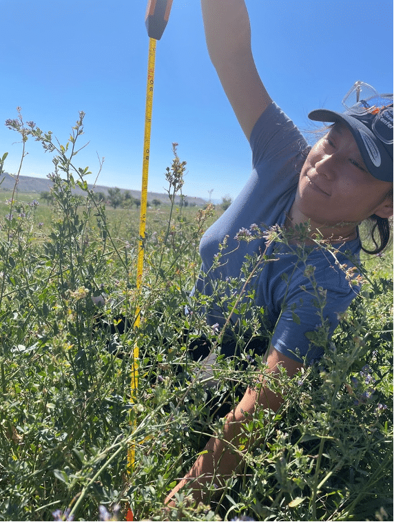
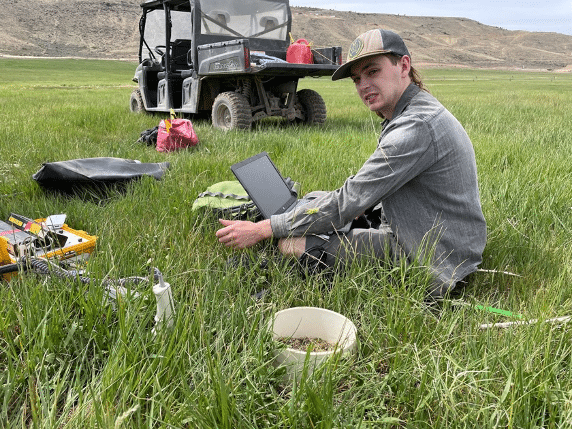
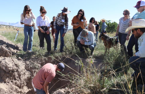
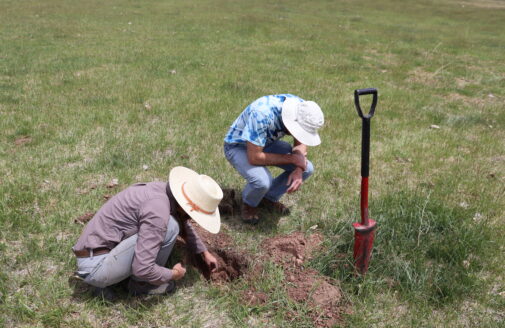
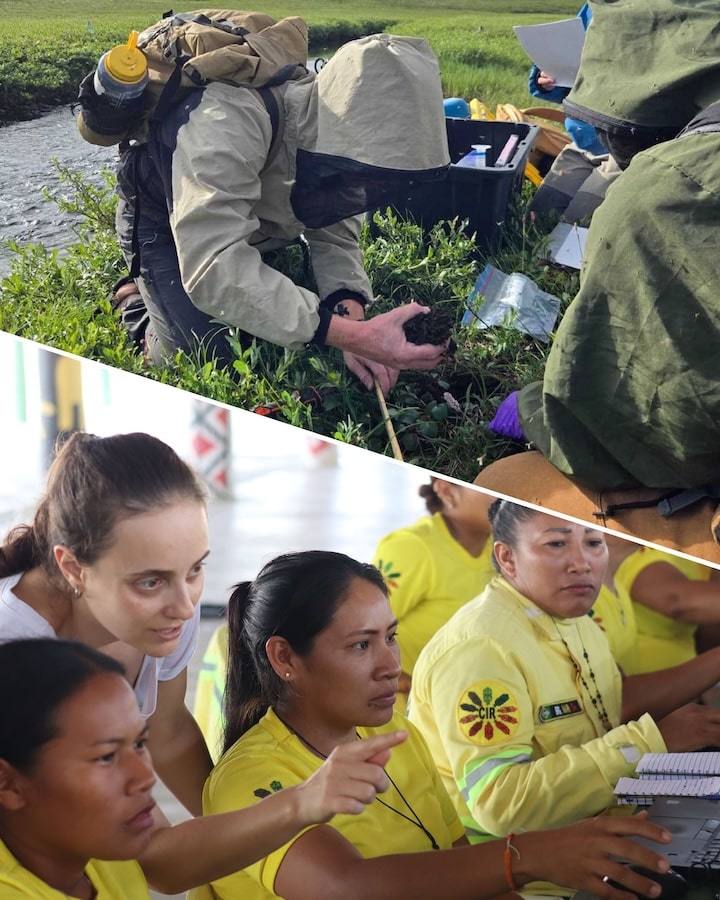
(left) Recording plant data at a ranch in western Colorado, for remote sensing validation. (right) Measuring carbon dioxide fluxes on restored pastures, which were previously row crops. photos by Jennifer Watts.
In collaboration with Columbia University and others, we developed the novel Rangeland Carbon Tracking and Management Tool (RCTM), a low-cost system to monitor plant productivity and the ecosystem carbon balance of grassland systems. Based on remote sensing and field data, the tool can provide insights at local to regional scales. The RCTM framework utilizes open source data, is peer reviewed, and the underlying source code is freely available.
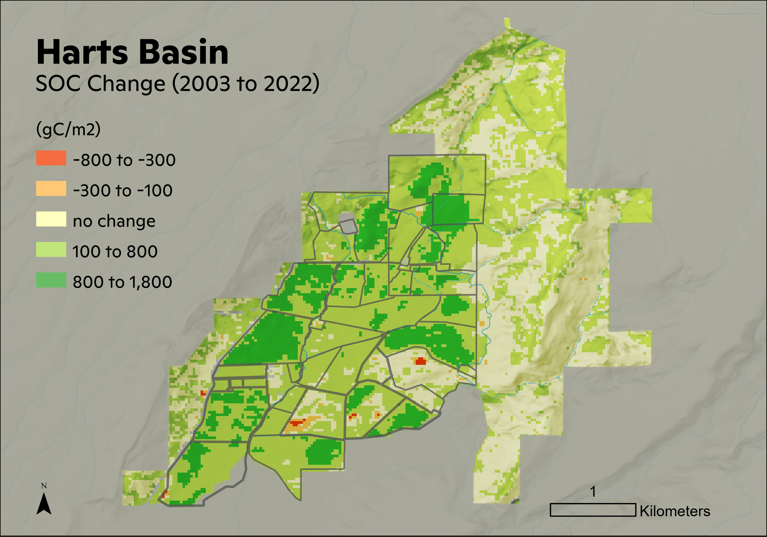
Above: Map of soil carbon change over the past 20 years across a ranch in Southwest Colorado. Image by Andrew Mullen.
We are implementing the RCTM across two million acres of grasslands in the Northern Great Plains as part of an ambitious pilot carbon monitoring study, in partnership with the National Fish and Wildlife Foundation, the Audubon Conservation Ranching initiative, and World Wildlife Fund’s Ranch Systems and Viability Planning program. We are also applying the RCTM at ranches in western Colorado (with Western States Ranches) and other regions, to further test and refine the approach.
Our goals are to:
- Demonstrate that changes in carbon storage due to shifts in grassland management can be affordably and accurately measured.
- Quantify rangeland carbon sequestration and longer-term trajectories of changes in net ecosystem CO2 exchange and soil carbon stocks across the region.
- Begin to understand the climate benefits of improved grazing management systems and other grassland conservation projects.
We aim to make the RCTM operational for all grazing lands within the U.S. and North America, and the data available at no cost to ranchers and land managers from State, Federal, and Tribal agencies.
Our Impact
By developing the RCTM and a free web application, our aim is to provide grazing lands managers with a high-resolution, 20+ year record of changes in carbon fluxes and soil carbon storage. With this accurate and timely data on rangeland forage and carbon change, more producers can adopt conservation and management practices that lead to more efficient, productive land with climate benefits.
Support provided by:
Conscience Bay Research
Mighty Arrow Family Foundation
J.M. Kapland Fund
Woodwell Fund for Climate Solutions
National Fish and Wildlife Foundation
Arthur M. Blank Family Foundation
This project is supported by Audubon.
By discovering more accurate and affordable methods for monitoring soil health, the [Woodwell] project team will lead us towards management practices that can literally heal the earth.Eli Feldman, Conscience Bay Co.
Partners & Collaborators