Fund for Climate Solutions awards five new grants
From translating data into tools, to improving hazard management
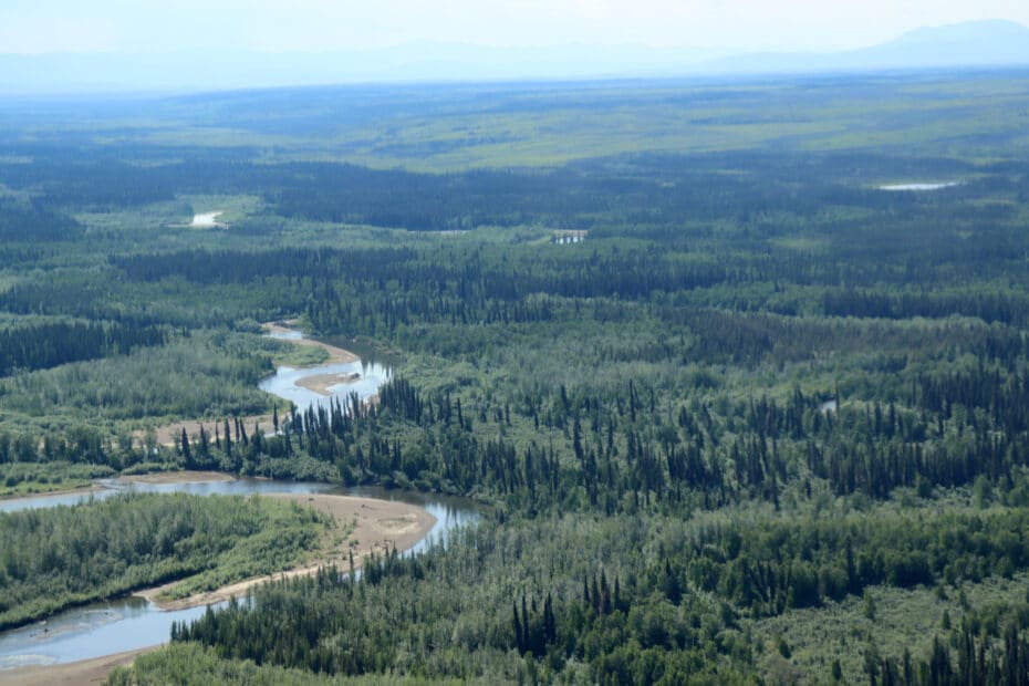
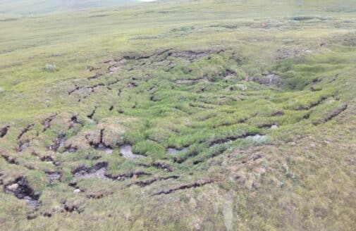
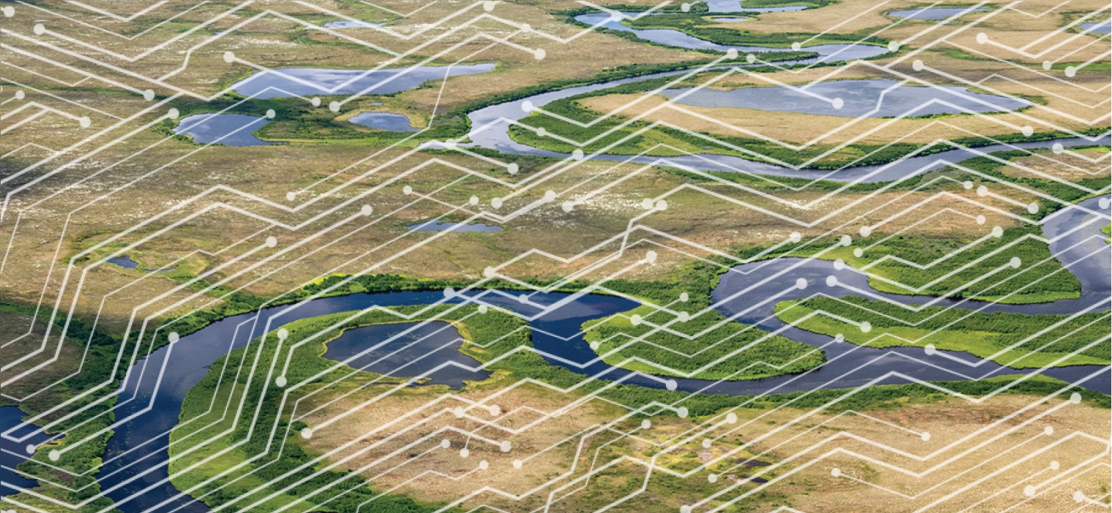
Aerial view of Yukon Flats National Wildlife Refuge.
photo by Kayla Mathes
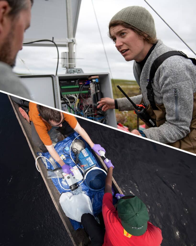
The first round of 2025 Fund for Climate Solutions (FCS) awardees has been announced. The FCS advances innovative, solutions-oriented climate science through a competitive, internal, and cross-disciplinary funding process. Generous donor support has enabled us to raise more than $10 million towards the FCS, funding 74 research grants since 2018. Many of the latest cohort of grantees are translating data into tools for amplified impact. One project is bringing climate-related hazard expertise to at-risk communities, empowering them to co-create hazard management plans with their government officials.
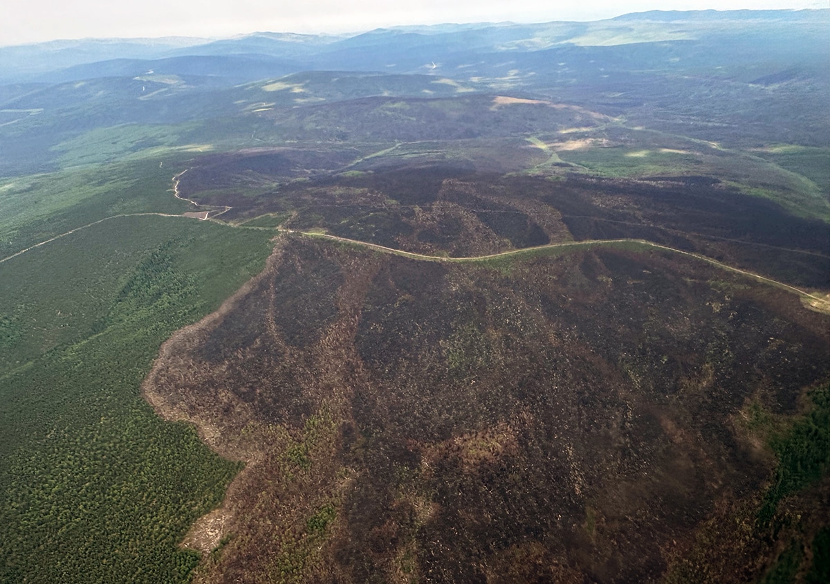
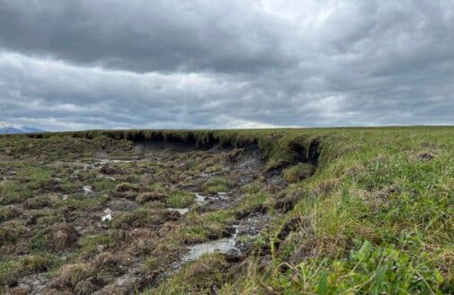
Aerial view of burned forest in Yukon Flats National Wildlife Refuge.
photo by Brendan Rogers
Climate and Indigenous-centered boreal wildfire risk assessment
Lead: Dr. Kayla Mathes
Collaborators: Dr. Brendan Rogers, Dr. Peter Frumhoff
While fire has always been an important part of boreal ecosystems, fires that reach beyond historical patterns on the landscape are posing widespread consequences for climate, Indigenous sovereignty, and public health. Through our partnerships with land managers and community leaders in Alaska, Woodwell Climate researchers have identified two key barriers to responsive management and policy action: 1) Fire managers currently lack maps that identify areas with both a high probability of wildfire, and a high carbon emission potential from burning and permafrost thaw. 2) Current fire management priorities do not adequately include Indigenous knowledge and community needs. This project will generate two maps to address boreal fire management knowledge gaps. The team will create one map representing wildfire carbon vulnerability, and will also work with Yukon Flats Indigenous communities to co-produce a regionally-specific map that identifies their wildfire management needs and priorities.
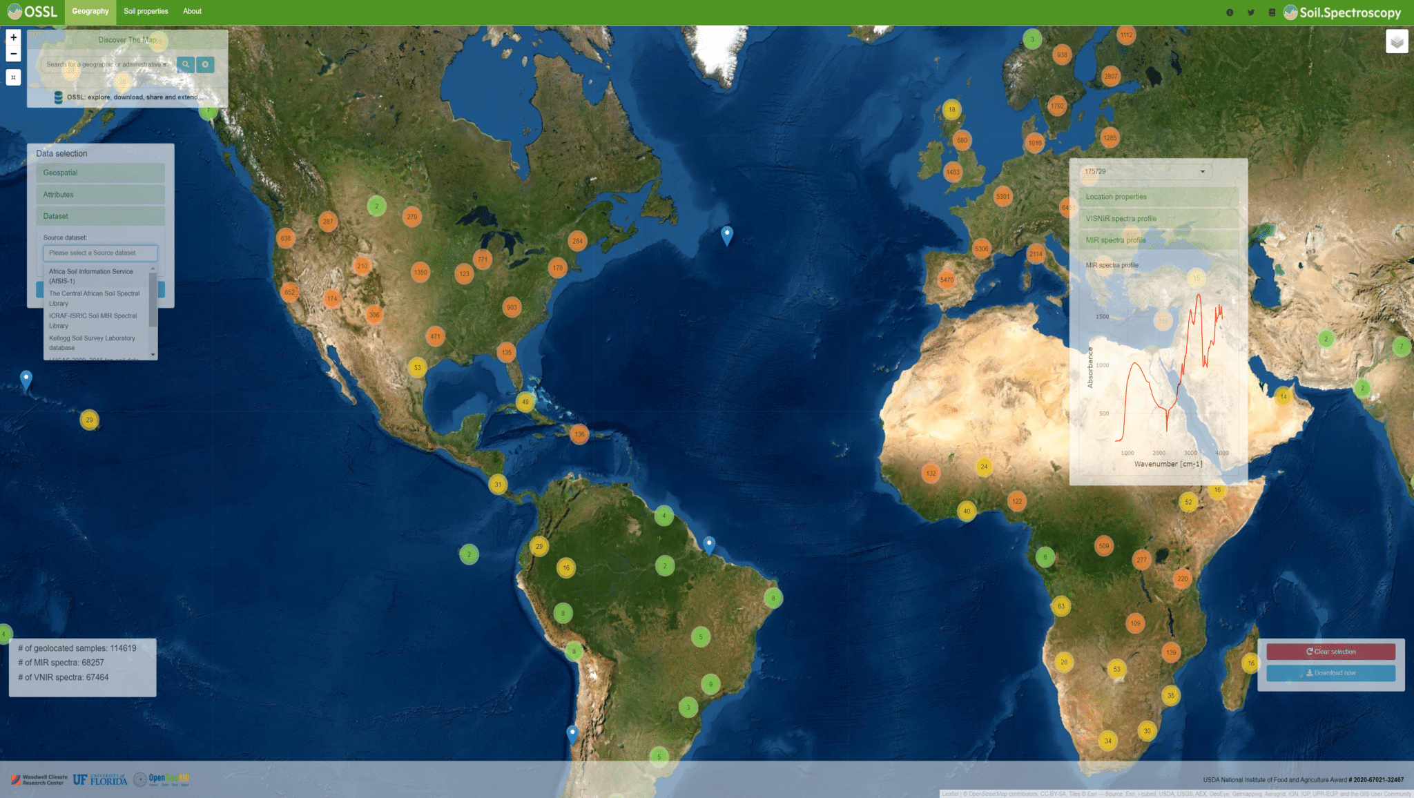
Screenshot from explorer.soilspectroscopy.org
Forms and functions of soil organic carbon
Lead: Dr. Jonathan Sanderman
Collaborators: Dr. José Lucas Safanelli, Dr. Ludmila Rattis, Dr. Christopher Neil
Not all carbon is created equal—some forms of carbon are easier for microbes to break down, while others are more persistent. In soils, scientists are typically interested in a few specific forms of organic carbon, but each type has a different decay rate. Measuring the amount of each type of carbon—referred to as fractions—in a soil sample is currently labor intensive, sometimes requiring highly specialized equipment. Woodwell Climate researchers recently proved that a 60-second, low-cost spectroscopy scan can provide similar information on soil carbon fractions to days of work with traditional methods. However, this scan relies on machine learning or deep learning algorithms and high-quality, geographically appropriate training datasets. This project will build an open-source database of soil carbon fraction data, along with freely-available models to predict soil carbon fractions using spectroscopy, hosted by the Woodwell-led Open Soil Spectral Library and Estimation Service. This groundbreaking solution offers a transformative approach to soil carbon monitoring—making soil carbon fraction prediction more widely accessible to labs around the world.
Arctic tundra landscape overlaid with a representation of computer networking.
photo by Chris Linder
A generic climate AI framework for multi-domain time series prediction
Lead: Dr. Yili Yang
Collaborators: Dr. Elchin Jafarov, Dr. Brendan Rogers, Dogukan Teber, Dr. José Lucas Safanelli, Dr. Andrea Castanho, Dr. Christopher Schwalm, Dominick Dusseau, Dr. Marcia Macedo, Dr. Jonathan Sanderman, Dr. Anna Liljedahl, Dr. Sue Natali, Dr. Michael Coe
Current climate science relies heavily on physics-based numerical models to make a wide range of predictions—from thawing permafrost in the Arctic, to tropical fires in the Brazilian Amazon, to soil carbon budgets of pastures, and risks associated with flooding. These types of models require an intense amount of computing power, and are expensive to run enough times to test a variety of detailed scenarios and assumptions. Researchers often need to simplify the models or the questions they are asking, limiting the insights that they can extract. To address this problem, the project team will use deep learning to develop a Center-wide AI framework for climate data that encompasses data from across regions and projects, reducing computational costs and energy demands. This new framework will have the potential to transform the ability of all Woodwell Climate researchers to provide policymakers with rapid, accurate predictions that support urgent climate response strategies.
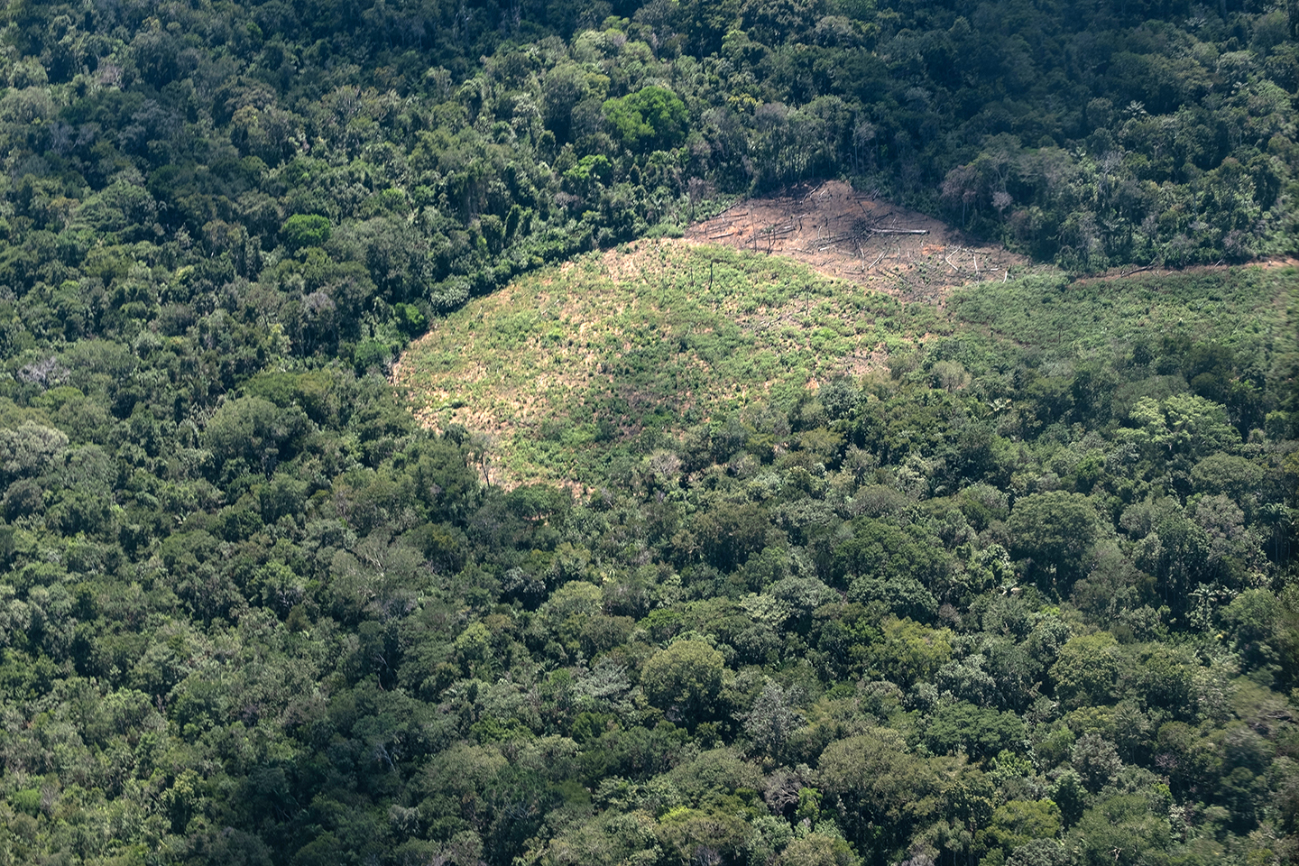
A pocket of deforestation in the Amazon.
photo by Paul Brando
Empowering the Tropical Forests Forever Facility with a tool for informed decision-making
Lead: Dr. Glenn Bush
Collaborators: Kathleen Savage, Patrick Fedor, Emily Sturdivant, Dr. Wayne Walker, Dr. Ludmila Rattis, Dr. Michael Coe
The Tropical Forests Forever Facility (TFFF), is an initiative spearheaded by the Government of Brazil to establish a US$125 billion global investment fund. If successfully established, TFFF can generate long term finance to provide ongoing annual compensation to tropical forest nations to conserve intact tropical forests. The fund now needs to build confidence amongst potential sponsors to demonstrate feasible pathways to impact. The project team will create a new location-based dataset of cost-effective forest conservation options for the Democratic Republic of Congo (DRC) and Brazil, where Woodwell researchers have a long history of relationships and expertise. This dataset will provide valuable information around what forest conservation strategies will be effective, and where, based on financial and social benefits to people in the target landscapes. Ultimately, the team will be able to concretely identify how much forest conservation can be achieved with a given budget, and where to target efforts to resolve the highest-priority risks. With this information, the TFFF can demonstrate the effectiveness of the program and incentivize participation of sponsor countries and tropical forest nations.
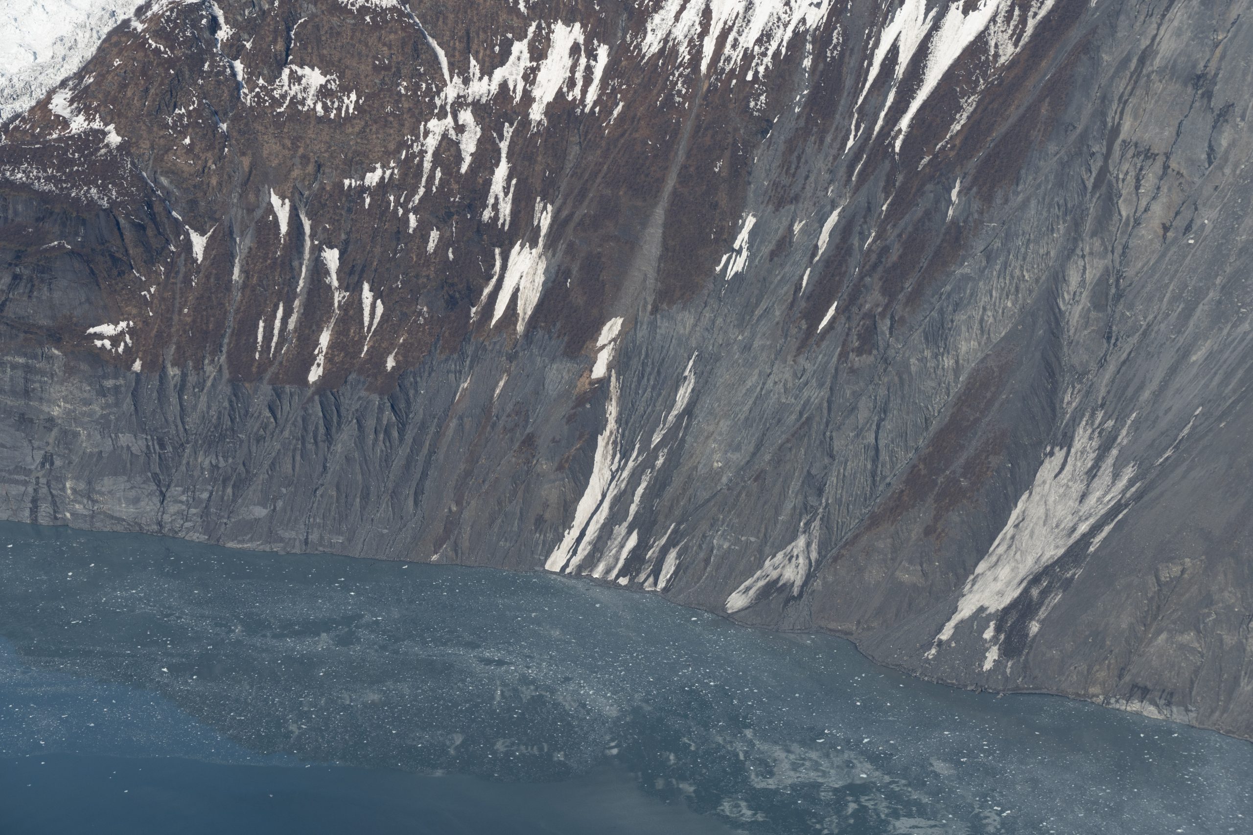
Vulnerable slope of Alaska’s Barry Arm.
photo by Chris Zimmerman, USGS
Landslide hazard management workshops in Homer and Seward, Alaska
Lead: Dr. Anna Liljedahl
Collaborator: Dr. Jennifer Francis
Extreme rain events, glacier retreat, and permafrost thaw are making landslides and landslide-generated tsunamis in Alaska more likely. However, these hazards are not well-integrated into land and emergency management—for example, warning systems are relatively non-existent. The project team will host workshops in two Alaska communities at risk for landslides and landslide-generated tsunamis to raise awareness about the threats among residents and public agencies, and to identify landslide hazard management practices. The workshops will bring together experts in science and hazard mitigation; city, borough, and state officials; and community members to jointly develop recommendations for action. This effort builds on the ongoing work of Dr. Liljedahl’s project, Arctic Tsunamigenic Slope Instabilities Partnership (Arctic T-SLIP), and will support a future group of research proposals to the National Science Foundation on landslides and landslide-generated tsunami hazards. Insights gained from these workshops will also add detail to a Woodwell Climate Just Access risk report completed for Homer in 2021.