Arctic Indigenous mapmakers are reclaiming the past, shaping their future
Permafrost Pathways builds GIS capacity with Alaska Native communities, leverages co-produced maps for policy change
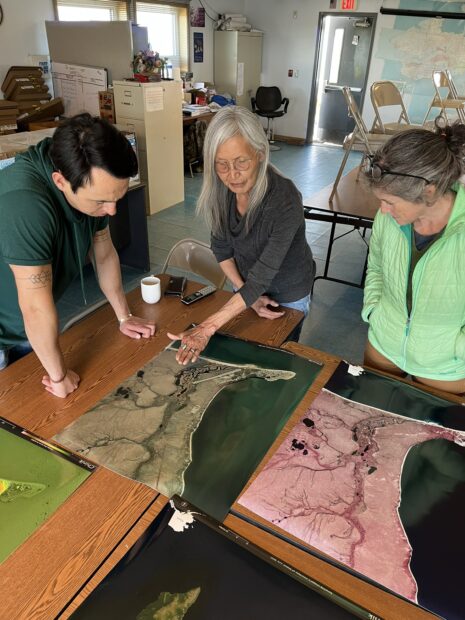
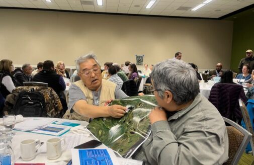
Maps bringing people together during a community trip to Chinik (Golovin), Alaska.
Photo by Greg Fiske
“What if you’re not on the map?”
Dr. Kelsey Leonard of the Shinnecock Indian Nation addressed this question to a room of Geographic Information System (GIS) professionals at Esri’s global mapping conference in 2023. Leonard, who uses maps to advance Indigenous water justice, asks this question to raise awareness about the absence of Indigenous land and languages in GIS tools. The removal of traditional place names in physical spaces, cartographic maps, and geospatial software often contributes to the erasure of Indigenous culture and history.
The Permafrost Pathways project, like Leonard, is working to change that.
Read more on Permafrost Pathways