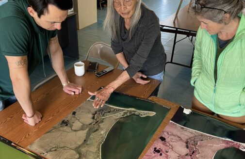
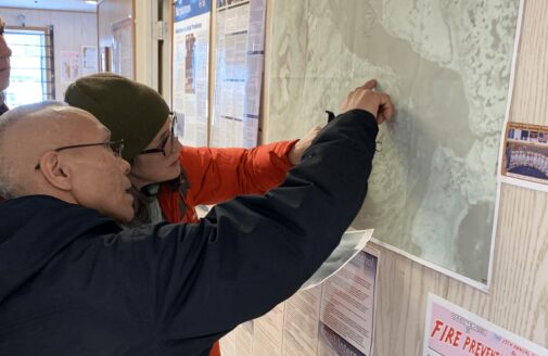
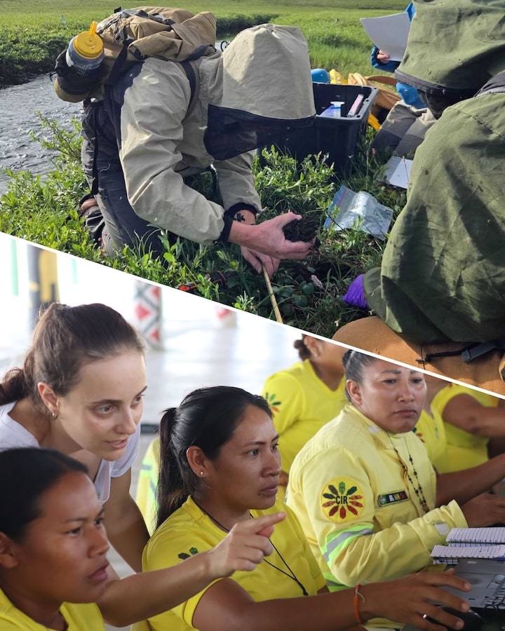
I am a geographer and a cartographer who administers the many technical aspects of Woodwell Climate Research Center’s geospatial and data visualization activities. My background includes extensive use of geospatial techniques, including geographic information systems (GIS), cartography, remote sensing, and relational database management.
I have broad expertise in cloud-based spatial data analysis. I have designed and developed complex spatial analysis workflows and I have taught many scientists, students, and researchers on the use of both open-source and proprietary geospatial software.
Prior to joining Woodwell Climate, I worked at the Lawrence Livermore National Laboratory in California. I earned my B.S. from Plymouth State University in New Hampshire and my M.S. from Oregon State University in Corvallis, Oregon.


